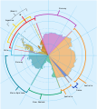
Gambar:Antarctica, territorial claims.svg
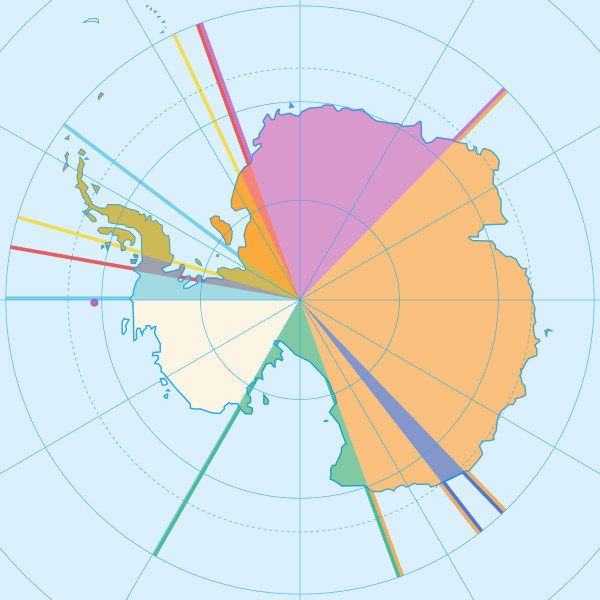
Ukuran ieu pramidang PNG ti ieu berkas SVG: 600 × 600 pixel Resolusi lianna: 240 × 240 pixel | 480 × 480 pixel | 768 × 768 pixel | 1.024 × 1.024 pixel | 2.048 × 2.048 pixel | 820 × 820 pixel.
Berkas asli (Koropak SVG, nominalna 820 × 820 piksel, ukuranana 72 KB)
Jujutan berkas
Klik dina titimangsa pikeun nempo koropak nu aya dina mangsa éta.
| Titimangsa | Miniatur | Ukuran | Pamaké | Kamandang | |
|---|---|---|---|---|---|
| kiwari | 8 Méi 2020 16.42 |  | 820 × 820 (72 KB) | Spesh531 | Norway's claim stretches to the South Pole as of June 12 2015 |
| 13 Oktober 2009 04.31 |  | 820 × 820 (71 KB) | DooFi | sauerkraut | |
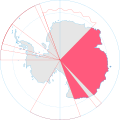
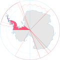
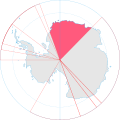
| 30 Juni 2008 20.08 |  | 806 × 806 (43 KB) | Lokal Profil | {{Information |Description={{en|Map showing the territorial claims to Antarctica}} {{legend|#e987eb|New Zealand}} {{legend|#fcc475|Australia}} {{legend|#8282ed|France}} {{legend|#7efa72|Norway}} {{legend|#ec787f|United Kingdom}} {{legend|#6db87f|Chile}} { |
Pamakéan berkas
Ieu berkas dipaké ku 12 kaca di handap:
Pamakéan berkas sajagat
Wiki lianna anu maké ieu berkas:
- Pamakéan di af.wikipedia.org
- Pamakéan di ar.wikipedia.org
- Pamakéan di ast.wikipedia.org
- Pamakéan di az.wikipedia.org
- Pamakéan di bn.wikipedia.org
- Pamakéan di cs.wikipedia.org
- Pamakéan di de.wikipedia.org
- Pamakéan di en.wikipedia.org
- Pamakéan di es.wikipedia.org
- Pamakéan di eu.wikipedia.org
- Pamakéan di fa.wikipedia.org
- Pamakéan di frr.wikipedia.org
- Pamakéan di fy.wikipedia.org
- Pamakéan di gl.wikipedia.org
- Pamakéan di hu.wikipedia.org
- Pamakéan di hy.wikipedia.org
- Pamakéan di id.wikipedia.org
Témbongkeun pamakéan global leuwih loba pikeun ieu berkas.

