Gambar:Central African Republic Map.jpg

Ukuran ieu pramidang: 573 × 600 pixel. Resolusi lianna: 229 × 240 pixel | 459 × 480 pixel | 972 × 1.017 pixel.
Berkas asli (972 × 1.017 piksel, ukuran koropak: 554 KB, tipeu MIME: image/jpeg)
| Berkas ieu asalna ti Wikimedia Commons. Kaca ngeunaan katerangan berkas ieu di Commons aya disalin di handap. Commons téh hiji gudang berkas bébas nu eusina disumbang ku balaréa. |
| Pedaran |
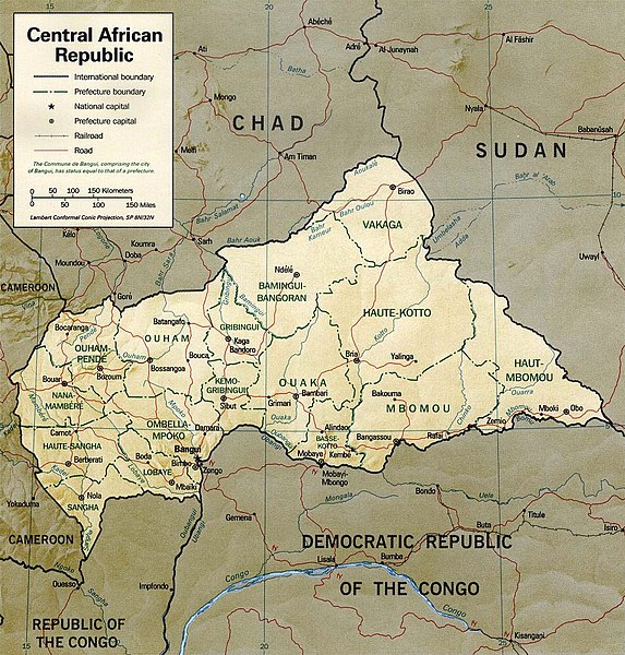
English: Shaded relief map of the Central African Republic.
|
|||
| Titimangsa | ||||
| Sumber | [1] from the Perry-Castañeda Library Map Collection. | |||
| Pangarang | CIA | |||
| Widi (Migunakeun deui ieu berkas) |
|

![[1]](http://www.lib.utexas.edu/maps/africa/cen_african_rep_rel01.jpg)
Jujutan berkas
Klik dina titimangsa pikeun nempo koropak nu aya dina mangsa éta.
| Titimangsa | Miniatur | Ukuran | Pamaké | Kamandang | |
|---|---|---|---|---|---|
| kiwari | 5 Juli 2011 19.15 | | 972 × 1.017 (554 KB) | Ras67 | cropped and slightly leveled |
| 21 Pébruari 2006 11.53 |  | 1.032 × 1.076 (261 KB) | Lupo | Shaded relief map of the Central African Republic. Source: [http://www.lib.utexas.edu/maps/africa/cen_african_rep_rel01.jpg] from the [http://www.lib.utexas.edu/maps/central_african_republic.html Perry-Castañeda Library Map Collection]. {{PD-USGov- |
Pamakéan berkas
Ieu berkas dipaké ku kaca di handap:
Pamakéan berkas sajagat
Wiki lianna anu maké ieu berkas:
- Pamakéan di ca.wikipedia.org
- Pamakéan di en.wikipedia.org
- Pamakéan di fa.wikipedia.org
- Pamakéan di fr.wikipedia.org
- Pamakéan di it.wikipedia.org
- Pamakéan di ka.wikipedia.org
- Pamakéan di lfn.wikipedia.org
- Pamakéan di lt.wikipedia.org
- Pamakéan di mdf.wikipedia.org
- Pamakéan di mk.wikipedia.org
- Pamakéan di nl.wikipedia.org
- Pamakéan di pl.wikipedia.org
- Pamakéan di ru.wikipedia.org
- Pamakéan di sn.wikipedia.org
- Pamakéan di tt.wikipedia.org
- Pamakéan di uk.wikipedia.org
- Pamakéan di vec.wikipedia.org
- Pamakéan di www.wikidata.org
- Pamakéan di zh.wikipedia.org